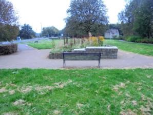
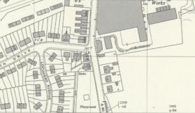
A small area of land between the Glasgow Road and the new council housing scheme which included Anderson Drive, Lochhead Avenue and Shanks Avenue was made into a public park in the 1950s and named as the “Anderson Park.” The housing had been constructed in the 1930s and 1940s but this area had been left uncluttered due to the
presence of a tributary of the Little Denny Burn which bordered the field on the west and north. A small square paddling pool was placed in its centre (Gillies 2018, 128) which has now been converted into a planter. The stream has been fenced in and vegetation allowed to obscure it.
National Grid Reference
NS 812 820
