SMR 1208 / NS 8521 7251
A “Water Wheel” on the Culloch Burn a little east of Balcastle House is noted on the 1860 Ordnance Survey map. No buildings are associated with it, but a coal pit is shown very close by. It therefore seems probable that the wheel was used for pumping water out of the pit, as occurred at Westfield near Airth.
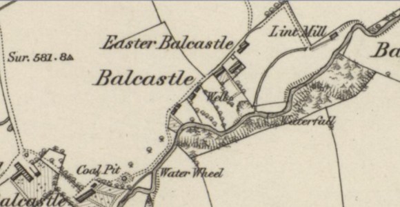
Balcastle Lint Mill lies a little further east where the water falls more rapidly.
