SMR 2341 / NS 8818 7172
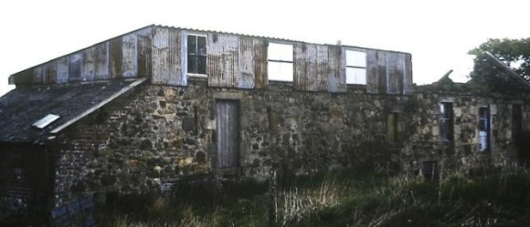
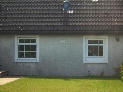
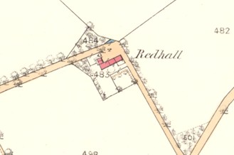
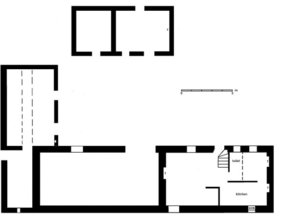
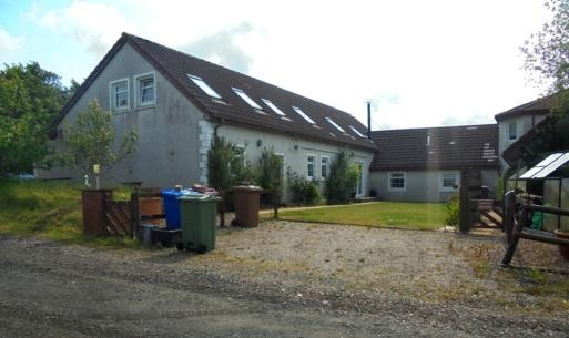
Redhall lies on the north side of the road from Limerigg to Avonbridge, to the west of Dykehead. The farmhouse at Redhall was typical of the area being made of a mixture of sandstone and whinstone rubble, two storeys, and symmetrical with a central door. A wing on the west held livestock and fodder. It was extended northwards by a byre and there was a separate barn (post 1860) for thrashing to the north, forming an open courtyard there. The main house had a projecting square eaves course with the date “1812” on the easternmost block. The buildings, photographed in 1988, were in an advanced state of decay before they were radically rebuilt and extended. The walls are now harled and it is difficult to see any of the original character other than the formation of a more enclosed courtyard. The date stone has been placed into the western block of this new court.