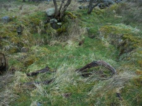
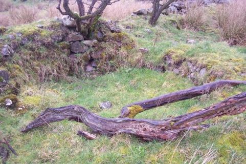
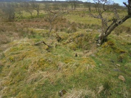
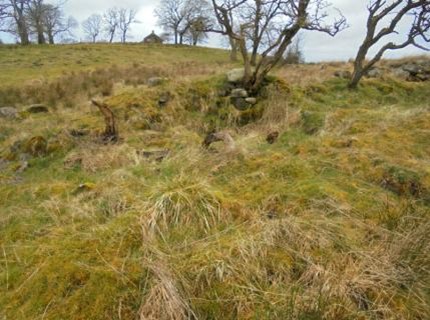
SMR 1361 / NS 8778 7368
The remains of a circular kiln structure attached to the east side of a boundary dyke can be seen under the vegetation. It is similar in size to the farm limekiln at Lochgreen and was presumably used for this purpose. All that remained of the nearby farmhouse in 2010 was the west gable. The kiln is not shown on the 1860 Ordnance Survey map and was presumably disused by then.