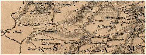
This “lint mill” is shown on the map of Slamannan Parish in 1806, and on Grassom’s map of 1817. It is not named on either and so the appellation given here is assumed. It lay on the west side of the Rashiehill Burn close to the large farm of Rashiehill owned by the Waddell family. However, it may have been on the farm of Blackrigs.
Sites and Monuments Records
| Rashiehill Mill | SMR 1206 | NS 838 728 |
