
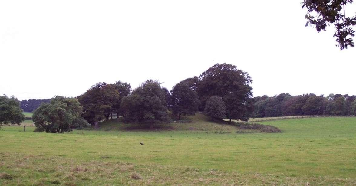
SMR 323 / NS 957 756
An oval mound on Castlehill Farm measures 32 m by 27 m on the top, and 61m by 46 m across the base. The top of the mound is cut by a broad and shallow trench 21 m in length, possibly of no significant age. To the immediate south-west end of this trench is a terrace likely formed from the spoil of this cutting (RCAHMS 1963, 449). No other evidence of building exists. However Johnstone noted in 1723 that “There is an old fortification… called Castlehill near to the house of Compstone, where there are a great many vaults”. Compston farmhouse is some 210m north of this mound.
The motte may be the predecessor of Muiravonside House and lay close to the main medieval road from Linlithgow to Glasgow via Manuel Nunnery and Slamannan, where there is another motte. This was known as the South route and was an alternative to going through Falkirk. It was well known and used by Cromwell in 1651.
Bibliography
| RCAHMS | 1963 | Stirlingshire: An inventory of the ancient monuments. p449, No. 589. “A natural mound lies in open ground at a height of a little under 300ft. O.D. and at a distance of a quarter of a mile ENE. of Castlehill farmhouse. It measures 200ft. in length from WNW. to ESE. by 150ft. transversely, and rises to a height of 15ft. The top is cut by a broad and shallow trench, of no great age and measuring about 70ft. in length; immediately beyond the SW. end of this there is a terrace which appears to have formed as a spoil-heap from the cutting. No other recognisable traces of artificial work appear, but there exists a record of “an old fortification… called Castlehill near to the house of Compstone, where are a great many vaults”. Compston farmhouse (No.317) is situated 230yds. N. of the mound.” |
| MacFarlane, W. | 1906 | Geographical Collections Volume 1; Johnston of Kirkland. “There is also an old fortification (commonly reported to be built by the Picts the ancient inhabitants of this parish and countrey about) called Castlehill near to the house of Compstone, where are a great many vaults.” p.317. |

