
SMR 830 / NS 922 874
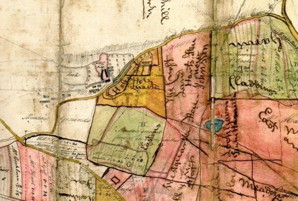
Water trapped on the north side of the esker that runs from Callendar Park to Polmont Station formed a small natural pond called Loch Gairn. The part of the lands of Redding known as “Lochgarne” is mentioned in a sasine of 1637 (Reid 2009, 90), along with East and West Claddings, Wallhillbrae, and Properhill – a set of names that demonstrates the undulating nature of the land. The loch itself is shown on an estate map dating to after 1760 (Falkirk Archives) as is Redding Loch which lay 400m to its west.
The name is an interesting one as it appears to be a Celtic word signifying the presence of a cairn – or perhaps a crannog made out of a heap of stones. 600m or so to its ENE was Auchencairnie (SMR 1533), another indicator of one or more cairns. And c700m eastward at Meadowbank was a burial mound (SMR 2249).
Nothing remains to be seen of Loch Gairn and part of the site is covered by a pit bing and the former brickworks.

